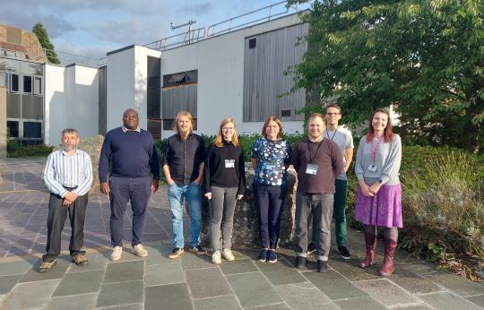
Knowledge exchange between EDS Data Centre the NGDC and the Geological Survey of Estonia (EGT).
Authors of the 2023 State of Nature report use EDS-developed research platform DataLabs as essential collaboration tool.
FAAM have launched two surveys to better understand users of their data; both existing and potential.
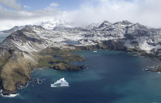
A new data portal for the South Georgia and the South Sandwich Islands facilitates the five yearly review and ongoing management of the Marine Protected Area.
Magnetic data from Eskdalemuir Observatory and stored at the National Geoscience Data Centre helps Hungarian researchers evidence a link between lightning strikes and the El Niño Southern Oscillation (ENSO).
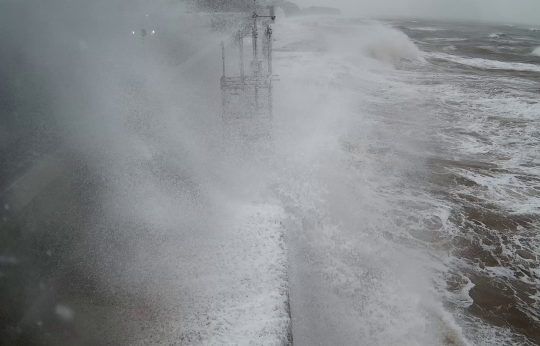
A new in-situ coastal monitoring system has been created that sends near real-time data to NERC EDS's British Oceanographic Data Centre. This is then made publicly accessible online on the new 'Coastal Hazard Explorer' app, integrating data from other sources to forecast overtopping events.
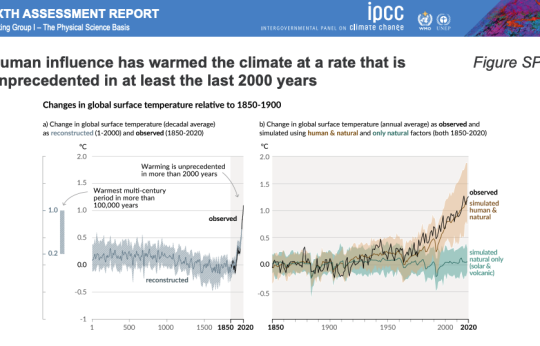
Staff from the NERC Environmental Data Service (EDS) have helped make climate data, used by international policymakers, more accessible.
International researchers use digital photographs of geological core from the NGDC to demonstrate the potential of a machine learning algorithm to automatically label core material and obtain geological insights, potentially creating a cost-effective alternative to in-person observations for some applications.
As the coldest, driest, windiest and fastest changing environment on Earth, Antarctica is a fascinating continent that still hides its secrets. For the last 60 years, scientists have explored and strived to better understand the past, present and future of the Antarctic Ice Sheet but also its geological structure.
The NERC Environmental Data Service (EDS) has recently completed a successful webinar series, run in collaboration with the NERC Constructing a Digital Environment program.
You are invited to contribute to a short online survey about your current and future needs in relation to compute, data access and skills for AI research and innovation in the UK.
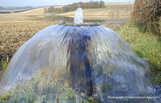
Open access to geological data enables Environment Agency staff to develop an understanding of how water flows in the subsurface environment, helping to support their statutory function to protect England’s waters and associated environments from pollution risk.
